ArdentMC
We will passionately deliver value to our clients solving their critical program needs and technical challenges through the creative power of our people.
Headquarters address

Ardent is a trusted provider for geospatial information, cloud migration, and DevOps in the federal, state, and local business spheres, delivering quality products and outstanding performance initiative to every client. We not only provide clients, both internal and external, with the highest quality of goods and services, but also support employing embedded leadership and forward-leaning personnel to deliver and innovative and trusted improvement. From program management support to systems implementation and integration, Ardent provides proven best practices and expertise to assist our clients in overcoming their most challenging IT and organizational change efforts.
PRACTICE AREAS: Program Management Support
Planning and Engineering
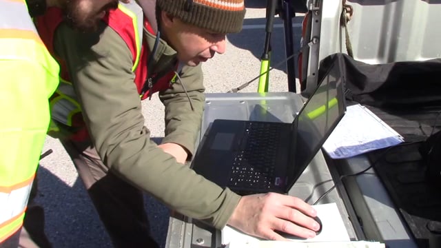
Geospatial Analysis and Collection
Application Development
Data Management
Geospatial Mapping
CLIENT FOCUS: Rich End-User Environments
Mobile and Lightweight
Operational Awareness
Situational Awareness
Agile Process
GEOSPATIAL MAPPING
A leading small business ESRI partner and integrator, Ardent builds high-resolution, intuitive maps for a diverse client set.
GEOSPATIAL ANALYSIS AND COLLECTION
We don’t just build maps – we enable organizations to make better, faster, more informed decisions based on geospatial intelligence.
DATA MANAGEMENT
ArdentMC has helped clients with massive volumes of customers streamline and simplify their data storage and retrieval mechanisms.
AGILE DEVELOPMENT
ArdentMC pioneered the use of Agile methodologies in the federal government in 2006, and continues to lead successful development initiatives.
DevOps AUTOMATION
We know what it takes to get developers and operations staff on the same page, setting the stage for automated testing and other streamlined processes.
CLOUD COMPUTING
With vast cloud experience and a deep bench of certified staff, ArdentMC is helping clients across private and public sectors move to the cloud without a hitch.
OUR PARTNERS: DHS • FEMA • ESRI• U.S. Coast Guard
FGDC • CBP • ICE • USSS / SSA
GeoCONOPS
Tech stack
Benefits
Compensation and retirement
Health and wellness
Vacation and time off
Personal development
Values and quality of life